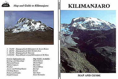
Main Map:
1:75,000 - 4 colour, Topographical, Kilimanjaro & Access Routes
Other Maps:
1:30,000 - 2 colour Topographical Map of Summit Area
1:20,000 - Topographical Map of Mawenzi
1:682,000 - Roads around Kilimanjaro
Information in German and French
 GPS=3
Eastings and Northings at 10' intervals. GPS=3
Eastings and Northings at 10' intervals.
|
Geology and Glaciology
Flora and Fauna
Medical Aspects
Weather
Access and Walking Routes
Climbing Routes
Porters and Guides
Useful Contacts
|
