Imilchil and the Plateau des Lacs (HA) |
 |
| EWP 2009.
Size: 705x500, folded to 173x125mm, self-cover. 1:160,000. Cost includes postage (untracked) & packaging. | |
| Code: HA | ISBN: 9781906449025 |
|---|---|
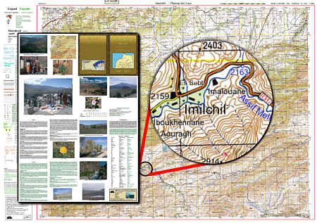
| Full colour topographical map covering the Imilchil, the Plateau des Lacs and
neighbouring
regions of the High Atlas. Tourist information covering access, main features, trails and glossary. Text in French and English. Inset High Atlas map 1:1,300,000  GPS=5 GPS=5 | |
Maps Home Page Atlas Mountains Morocco