
Mountains of Antalya(AA)

| Mountains of Antalya(AA) | |
 |
|
| EWP 2020.
Size: 870x560, folded to 218x140mm, self-cover. 1:50,000. Cost includes postage (untracked) & packaging. Limited edition printed on water and rip-proof paper. | |
| Code: AA | ISBN: 9780995712935 |
|---|---|
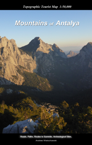
| Detailed, full-colour topographical map covering the Mountains of Antalya. Walking and mountain routes including the Lycian Way, Pisidian Trail and other marked routes. Archaeological sites, caves, hospitals, shops, bus routes, restaurants, service stations and climbing areas, Mountain ascent information, useful contacts and word glossary in English, German and Turkish. Photographs of area.  GPS=5 GPS=5 | |