Nepal Himalaya Maps

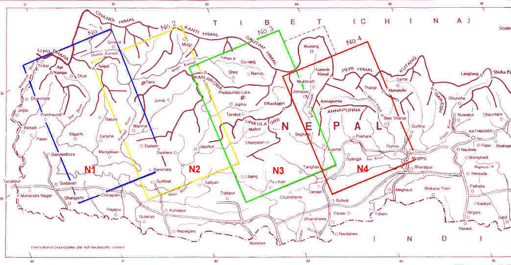
Nepal Himalaya Maps (N1 to N4)


Maps - Home   Buy now - look below for availability and link to individual map page
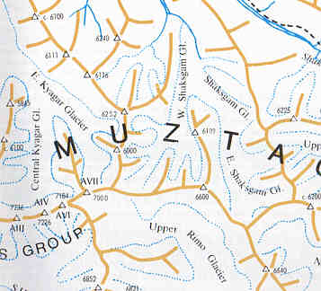

A series of 4, 1:200,000, colour, ridge maps covering the Nepalese Himalaya west of Kathmandu, with further maps, diagrams and information on the reverse side. Ridges are shown in yellow with passes and peaks their with heights marked. Rivers and glaciers are in blue and roads, tracks and footpaths are distinguished and in black. Villages, campsites, shelters are shown and on the reverse side their is trail information and description of valley bases.

Nepal Himalaya Maps
sample
Purchase Now:
N1  Api-Nampa, Seti River, Manasarovar, Panch Chuli, E.Kamao
N2 Mid-West Nepal, Jumla/Rara, Saipal, Sisne Himal
N3   Kanjiroba East, Tibrikot, Dolpo,Dhaulagiri Area - Out of Stock
N4 Annapurna, Machhapuchhare, Marsyangdi Muktinath Area
 
 
Purchase Set of 3:
Choose Shipping

Leomann Maps, edited by Louis Baume and Robin Collomb   Size: 56x88, folded to 14x22cm. 1:200,000
Cost includes post & packaging.
GPS=3

locations
Sheet Location Map - click to enlarge

Maps Home Page Indian Himalaya Karakoram


Home Email: ewp@ewpnet.com
ALW 12/12/14