 | Rwenzori Area Map |  Trip Details Trek Map |
| Rwenzori Area Map | Trip Details Trek Map |
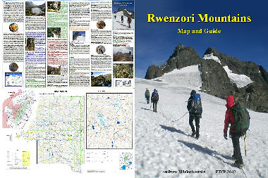 | Ruwenzori Map and Guide Buy now: Europe Worldwide UK |
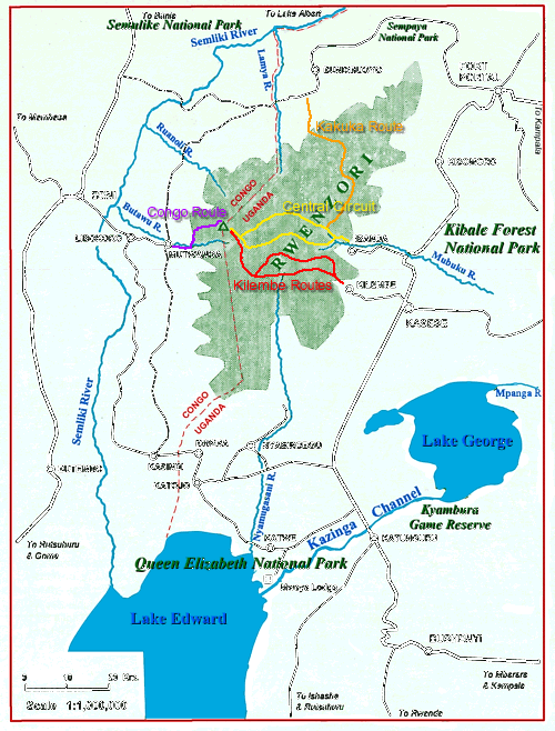
The Ruwenzori, now more commonly spellt Rwenzori, are a range of fold mountains separating the Congo or formerly Zaiire from Uganda. The best access to the mountains is via Uganda. Fairly good roads lead from Kampala to Kasese or Fort Portal. The Margherita Hotel in Kasese is the traditional base for starting the trek. The main trekking route at present starts from Ibanda itself about 40 minutes drive from Kasese. If approaching Kasese from the south it is possible to make a detour into the Queen Elizabeth National Park (or Ruwenzori National Park). Mweiya Lodge located on the Kazinga channel is an excellent base from where to explore the park, and maybe visit Lake George or Lake Edward by boat.
